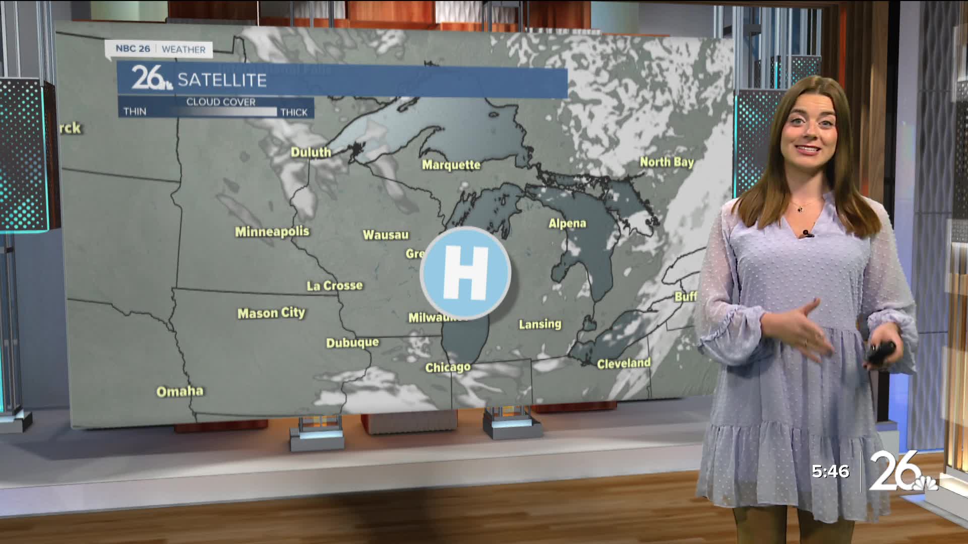

A cold front moved through Northeast Wisconsin overnight. This brought clouds and some rain showers to the area. This will clear early into the day, and we can expect lots of sunshine for Friday! Our high temperatures remain above normal into the upper 60s. Northerly winds only around 10 mph.
Weather changes on Saturday. Our winds switch to the south and become stronger. We can expect wind gusts up to 30 mph! There is a Gale Watch in effect for Lake Michigan on Saturday afternoon. It will also be a bit warmer. Our highs climb into the mid 70s on Saturday. Some thunderstorms are likely overnight. They'll move through quickly bringing a small chance for rain and thunder. FYI: A strong geomagnetic storm is headed our way! There is a potential to see the northern lights overnight Saturday.
Sunshine and 60s return for Sunday and Monday.
Calm and clear throughout the rest of next week. Keep an eye on the low temperatures as they fall into the low 40s from here on out.
