

Hurricane Milton made landfall Wednesday evening in Siesta Key, Florida, as a powerful Category 3 storm — causing life-threatening storm surge, extreme winds and flash flooding.
Siesta Key is located just outside Sarasota and 60 miles south of Tampa.
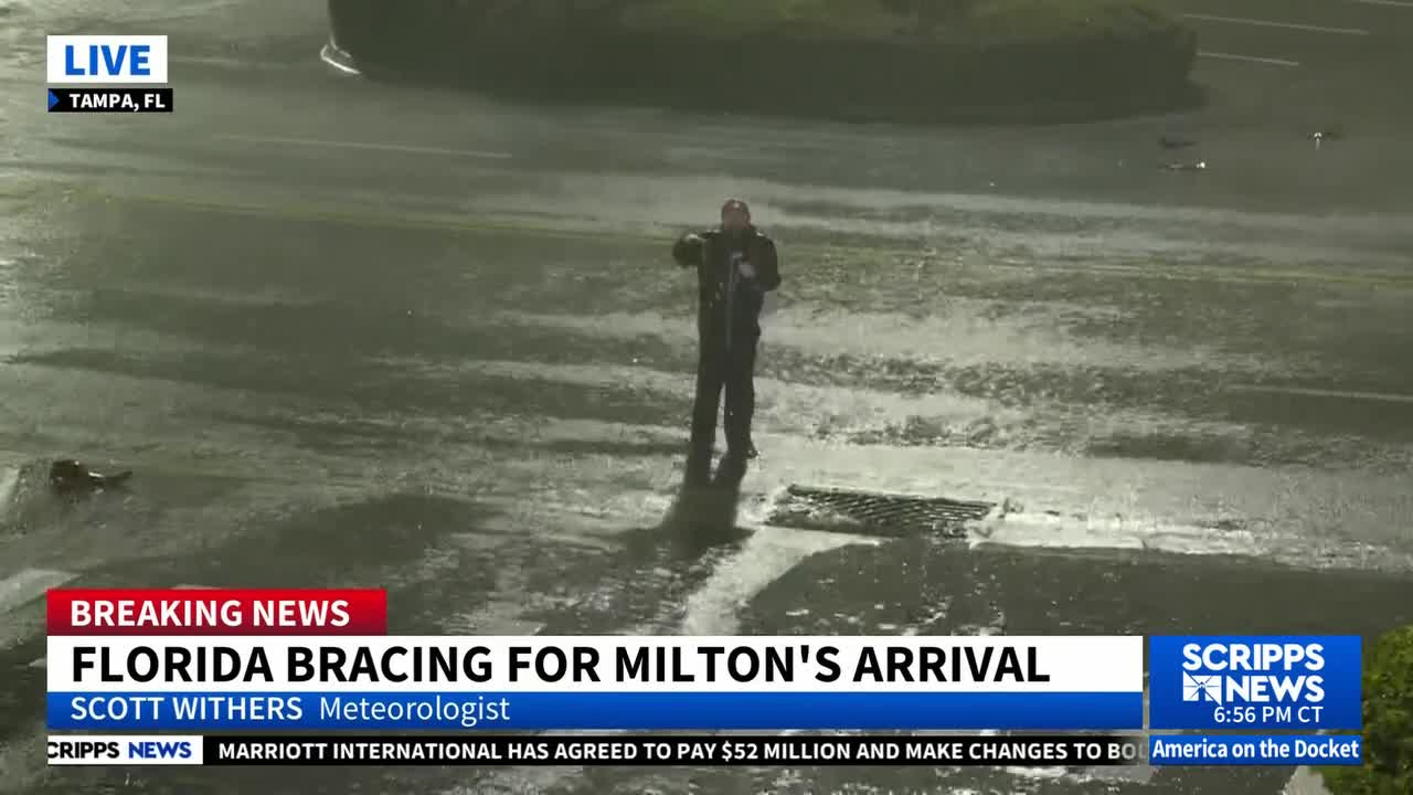
WATCH LIVE COVERAGE ON SCRIPPS NEWS TAMPA
The storm was lashing the state with maximum sustained winds of 120 mph at landfall, but those winds have since decreased slightly to 115 mph.
Still, more than 1 million customers in the state were without power Wednesday night, according to poweroutage.us.
Areas near Sarasota County are projected to get up to 13 feet of storm surge. In Tampa Bay, storm surge is anticipated to be up to 9 feet, slightly lower than initially projected.
"The deepest water will occur along the immediate coast near and to the south of the landfall location," the National Weather Service says.
RELATED STORY | Hurricane Milton: Evacuation zones in Florida and what they mean
In addition, more than 100 tornado warnings have been issued — with multiple sightings. One of those reported tornadoes hit just outside Fort Myers Wednesday — damaging structures and bringing down power lines.
Mandatory evacuations are in place up and down Florida’s Gulf Coast. Shelters quickly began filling up as the National Weather Service said Wednesday afternoon that it's "now time to shelter-in-place."
The storm is now expected to turn northeast and head toward the Orlando area — dumping about a foot of rain before exiting the state.
Orlando International Airport closed on Wednesday, following the lead of other major airports in the state, including Tampa International.
The storm also forced the closure of three of the major theme parks in Orlando — Disney World, Universal and SeaWorld.
RELATED STORY | Here's how to send texts or summon help via satellite using an iPhone
